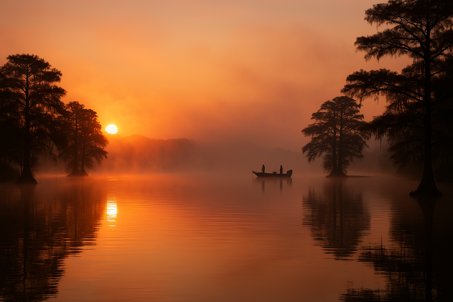
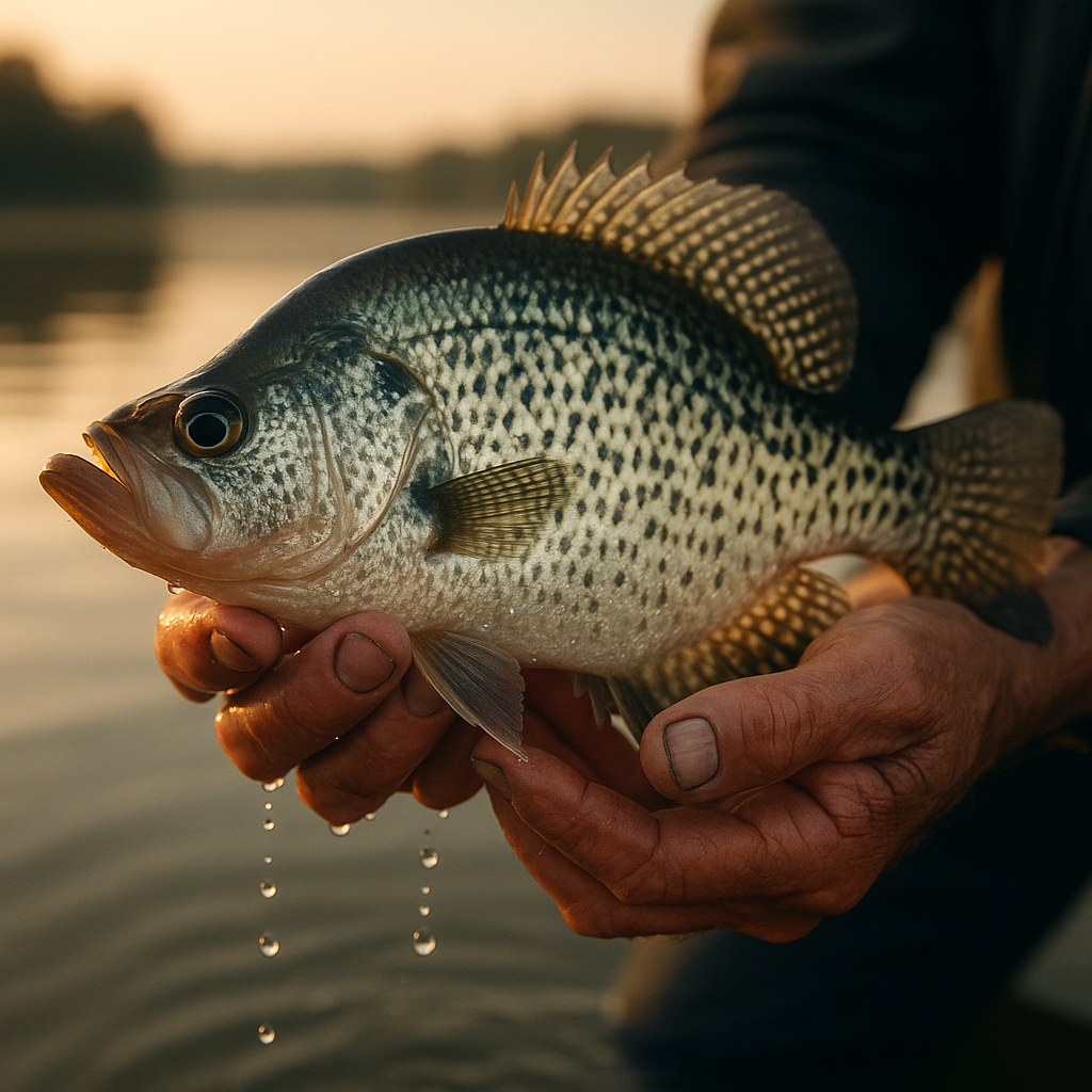
Built for Crappie Fishermen
The Only Fishing App Built for Crappie.
Real-time lake intelligence, brush pile maps, thermocline predictions, and solunar forecasts. Everything you need to find slabs, nothing you don't.
Not bass. Not walleye. Crappie.
Free during beta · No credit card required
Features
Everything a Crappie Fisherman Needs
Purpose-built tools that help you find, pattern, and catch more slabs on every trip.
Attractor Map
GPS coordinates for brush piles, stake beds, PVC trees, and pallets. The spots the locals don't share, color-coded and filterable by type.
Weather Dashboard
Barometric pressure trends, wind visualization, moon phases, and hourly forecasts, all tuned for crappie behavior patterns.
Lake Conditions
Real-time water levels vs. normal pool elevation, USGS stream gauge data, and generation schedules from TVA and Army Corps dams.
Thermocline Predictor
Water temperature stratification analysis that tells you exactly what depth crappie are holding at. No more guessing.
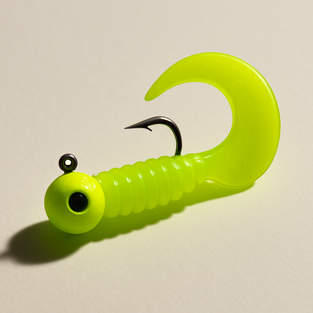
Bait Recommendations
Lure and color suggestions based on current conditions, seasonal patterns, water clarity, and what's producing right now.
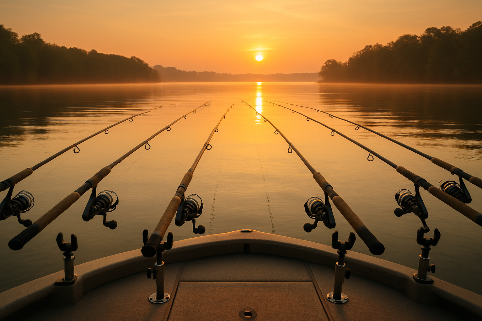
Spider Rig Calculator
Physics-based depth calculator for spider rigging. Input sinker weight, line length, boat speed, and line type to hit the exact depth zone.
Attractor Map
The Spots the Locals Don't Share
Access GPS coordinates for fish attractors across multiple lakes, with data sourced directly from state wildlife agencies. Filter by type, get turn-by-turn navigation, and fish the structure that holds slabs.
- Filter by lake and attractor type
- Turn-by-turn navigation to any spot
- Sourced from state wildlife agencies
- Color-coded by structure type
Weather Intelligence
Weather That Speaks Crappie
Not just a weather app. It's a fishing conditions dashboard. Barometric pressure trends tell you when the bite is on. Moon phase and solunar data help you plan the perfect window. All tuned for crappie behavior.
- Barometric pressure tracking
- Moon phase / solunar ratings
- Wind speed and direction
- Precipitation forecasts
- Water temperature trends
Thermocline Predictor
Know Exactly Where They're Holding
Our thermocline prediction model analyzes water temperature stratification to identify the exact depth zone where crappie are most likely concentrated. Stop wasting time fishing the wrong depth.
- Visual thermocline depth indicator
- Daily depth predictions based on conditions
- Historical pattern tracking
- Pairs with spider rig calculator
Bait Intelligence
The Right Bait, Right Now
Conditions-based bait recommendations that factor in water clarity, temperature, season, and what's been producing. From jig colors to live bait, we help you tie on the right thing.
- Color recommendations by water clarity
- Seasonal bait patterns
- Jig, live bait, and crankbait library
- Rigging methods and tips
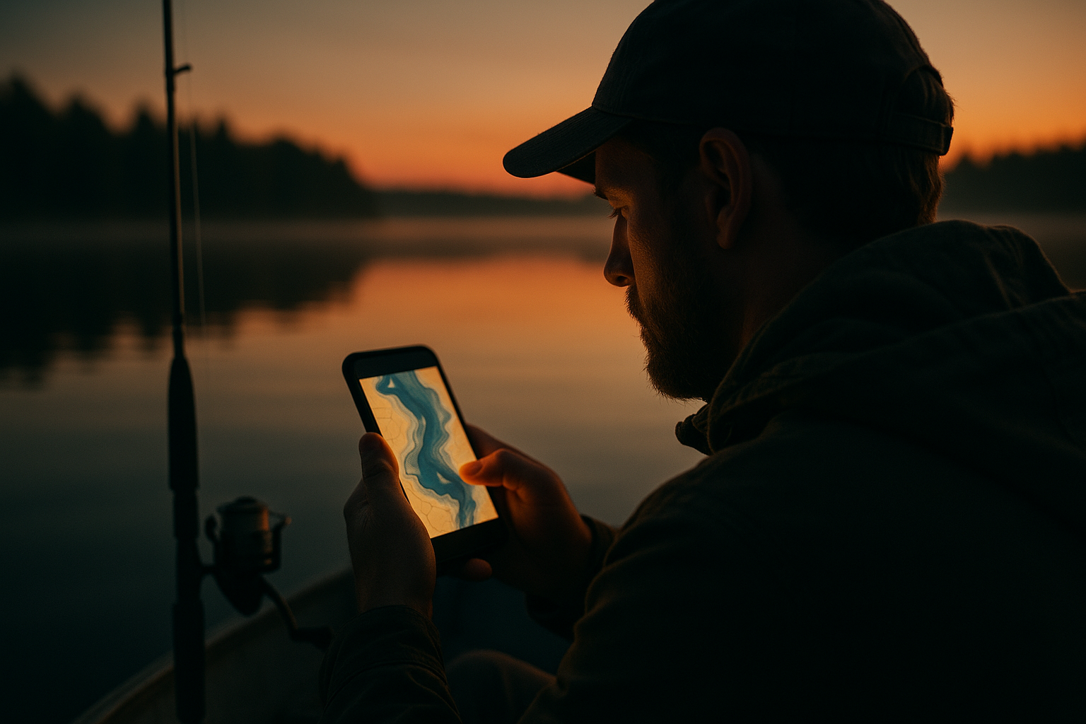
AI Fishing Assistant
Ask Uncle Slab
Like having a crappie fishing legend in your pocket.
Uncle Slab is your AI fishing buddy, the kind of old-timer who's forgotten more about crappie than most people will ever learn. Ask him about baits, conditions, patterns, and specific lakes.
He's not a corporate chatbot. He talks like a fisherman because he was built by fishermen. No jargon, no fluff, just straight answers from compiled crappie knowledge.
In stained water come March, you want something they can see and feel. I'd go with a 1/16 oz chartreuse and orange tube jig. Slow fall under a slip float set about 8-10 feet. The pre-spawn fish are moving up and they're aggressive. If tubes aren't getting it done, switch to a Bobby Garland Baby Shad in monkey milk.
If the thermocline's sitting at 15 feet, your crappie are gonna be right at or just above it. That means the 12 to 15 foot range. Set your spider rig jigs staggered between 11 and 14 feet. The big ones like to suspend just above that break where the oxygen's still good.
Looking at the forecast, barometer's been steady, wind's supposed to lay down Saturday morning, and we've got a waxing moon. I'd rate it an 8 out of 10. Get out there early, fish the cypress stumps on the south end. They've been stacked up in 6-8 feet.
Daily Briefing
The Morning Crappie Report
Your daily crappie briefing. Read it or listen on the drive to the lake.
Roadmap: a daily crappie briefing with lake conditions, bite forecasts, what is working this week, event news, and seasonal tips.
Prefer to read? The planned report will start with text in the app. Audio is on the roadmap for a later release.
- Roadmap feature, not part of the current beta
- Text first, with audio planned later
- Voice narration is on the roadmap
- Lake conditions, bite forecasts, tournament news
Smart Fishing Journal
Your Catches. Your Patterns. Logged in Seconds.
Most fishing logs ask you to type everything. SlabHaul pre-populates what it already knows: GPS location, lake name, weather, barometric pressure, water temp, moon phase, and time. You just fill in the fish.
Over time, your journal builds a personal fishing history that reveals patterns you'd never see otherwise. Which moon phase produces your best days? What bait works best when the barometer is falling? Your data, your edge.
- Auto-populates location, weather, moon, pressure, temp, time
- You only add: species, size, bait, and optional photo
- Pattern analysis reveals your best conditions
- Log a catch in under 10 seconds on the water
How It Works
From Download to Slabs in Minutes
Pick Your Lake
85+ supported lakes with pre-loaded attractor data, water level gauges, and local conditions.
Check Conditions
Real-time weather, barometric trends, water levels, and thermocline predictions all in one dashboard.
Find the Slabs
Navigate to fish attractors, dial in your depth with the spider rig calculator, and start hauling slabs.
Lakes
Growing Lake Coverage
Full attractor maps, water data, and local conditions. New lakes added regularly.
Kentucky Lake
Tennessee / Kentucky
Reelfoot Lake
Tennessee
Horseshoe Lake
Arkansas
New lakes added regularly based on community requests. 85+ lakes currently supported with weather and water data.
Knowledge Base
Built-In Crappie Intelligence
A searchable repository of techniques, seasonal patterns, and bait guides inside the app.
Seasonal Patterns
Pre-spawn, spawn, post-spawn, summer, and winter patterns with depth ranges, structure types, and behavior insights.
Techniques Guide
Spider rigging, vertical jigging, long-lining, shooting docks, and more, with pros, cons, and best conditions for each.
Bait Library
Jigs, live bait, crankbaits, and soft plastics, complete with rigging methods, color selection, and seasonal usage.
Condition Analysis
How barometric pressure, water clarity, temperature, and current affect crappie behavior and where to find them.
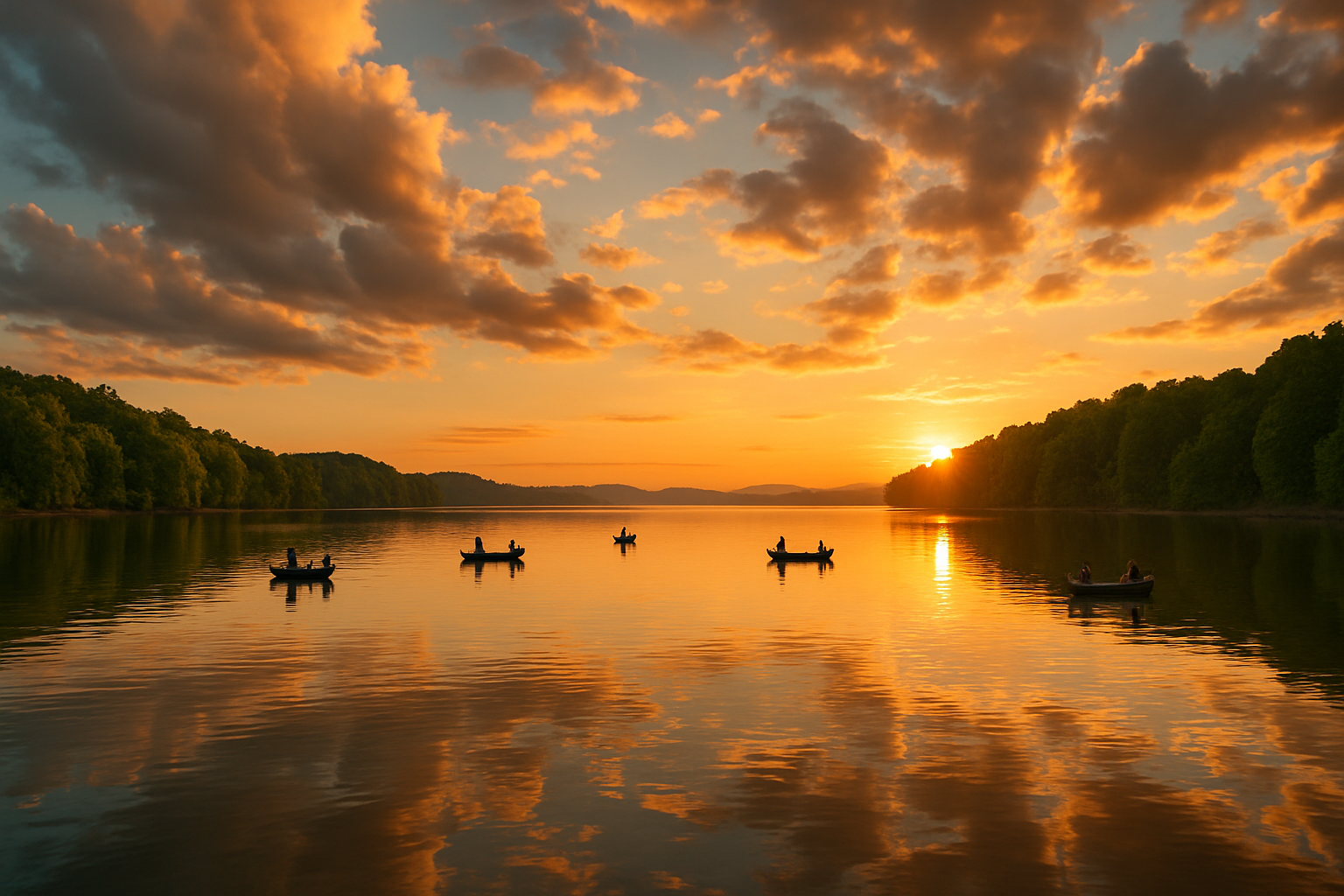
From the Water
What Beta Testers Are Saying
Finally, an app that speaks crappie. Not bass, not walleye. Crappie. The thermocline feature alone is worth it.
The attractor map is a game-changer. Found brush piles I've been driving over for years. Put us on a limit by 9 AM.
The spider rig calculator is something I didn't know I needed. Dialed in the right depth on my first drop. This app gets crappie fishing.
Multi-Platform
Plan Your Trip From Any Screen
Check conditions, scout attractors, and plan your trip from your phone, tablet, or computer before you ever leave the dock.
Pricing
Free During Beta
All beta testers get full access at no cost while we prepare paid launch.
Beta Access
Free during beta. Founding Angler pricing coming soon.
No credit card required. Paid launch is deferred until after open beta.
FAQ
Frequently Asked Questions
SlabHaul is the only fishing app built 100% for crappie. Every feature, from the attractor map to the thermocline predictor to the spider rig calculator, is designed specifically for how crappie fishermen think and fish. We don't try to be everything for everyone.
Our attractor data is sourced from state wildlife agencies including TWRA, AGFC, and KDFWR. These are official brush pile, stake bed, and PVC tree locations placed by fisheries management programs. We verify and format this data for easy navigation.
We currently have full attractor maps for Kentucky Lake (TN/KY), Reelfoot Lake (TN), and Horseshoe Lake (AR). Weather and water data is available for 85+ lakes. We're adding new lakes across the Southeast regularly.
Uncle Slab is our AI fishing assistant. Think of him as the uncle who always knows more about crappie than everybody else at the ramp. Ask him about baits, techniques, conditions, or specific lakes and he'll give you a straight answer. Daily updates and voice narration are roadmap items.
Android open beta is next. iOS is planned for TestFlight after Android is stable. The web app runs at slabhaulapp.com.
Yes. Attractor locations, the knowledge base, and the spider rig calculator all work offline. Weather and water level data requires a connection to fetch the latest readings, but previously loaded data is cached on your device.
Yes. All beta testers get full access at no cost. Free during beta. Founding Angler pricing coming soon.
Ready to Haul More Slabs?
Join crappie fishermen across the country who are fishing smarter with real-time lake intelligence.
Free during beta · Founding Angler pricing coming soon